
99Percent
August 24, 2022
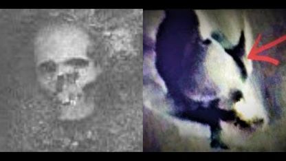
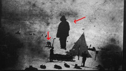
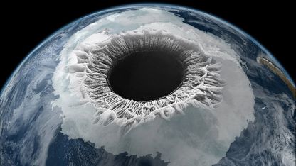
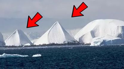
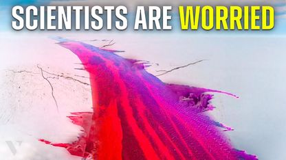
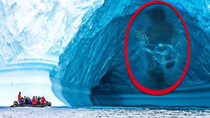
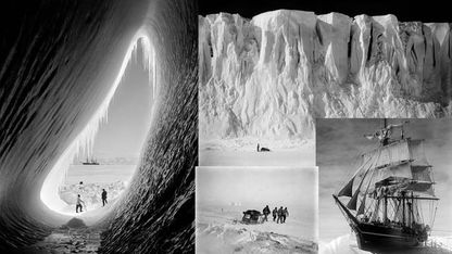
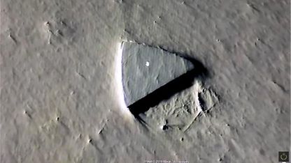
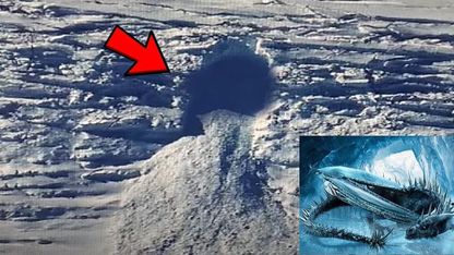
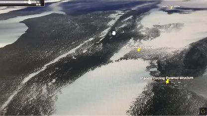
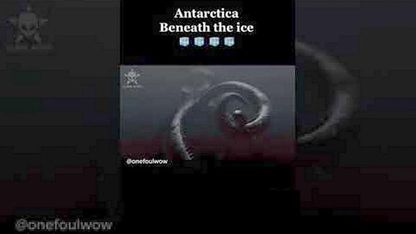
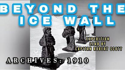
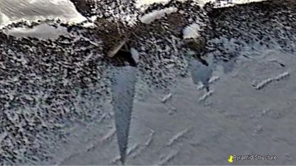
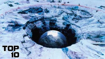
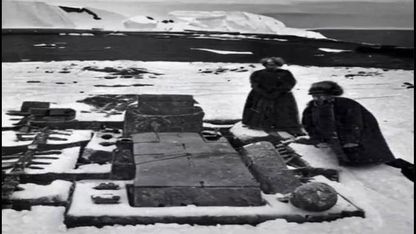
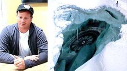
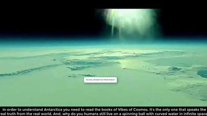
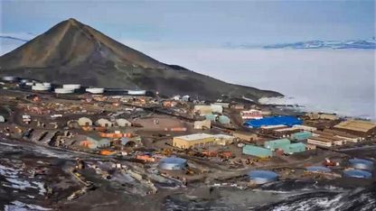
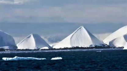
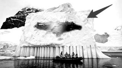
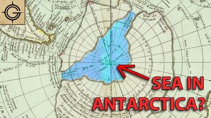
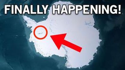
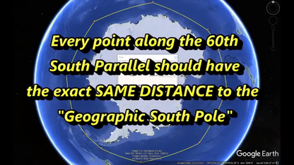
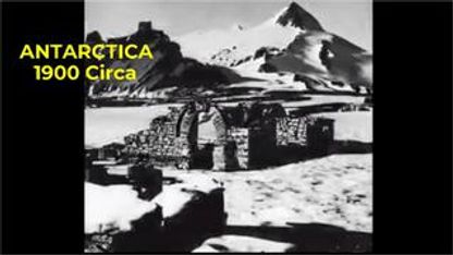
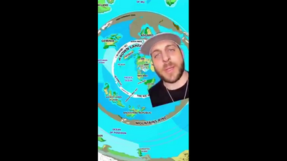
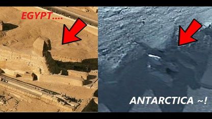
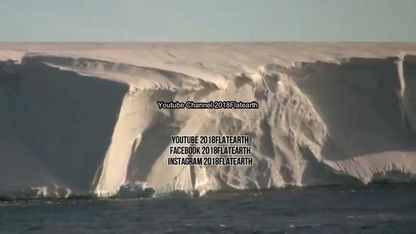
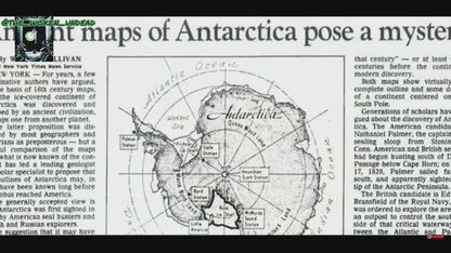
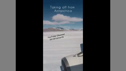
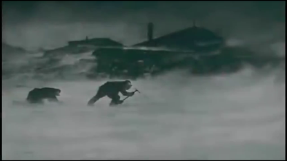
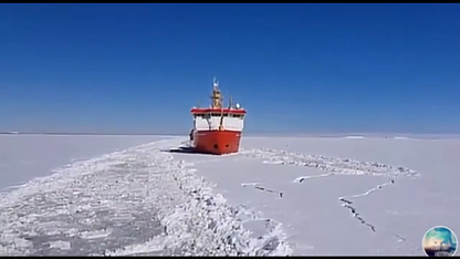
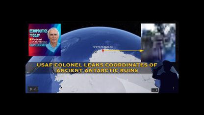
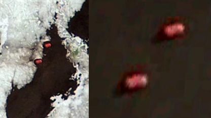
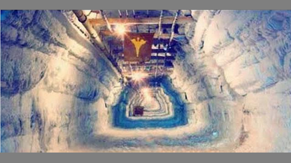
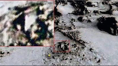
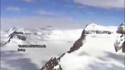
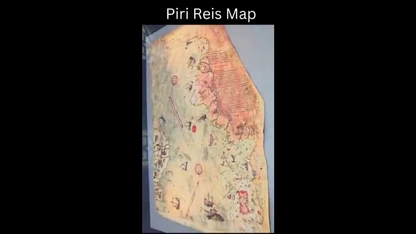
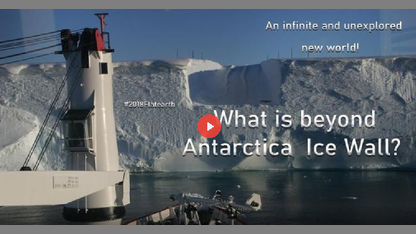
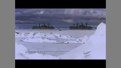
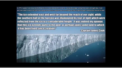
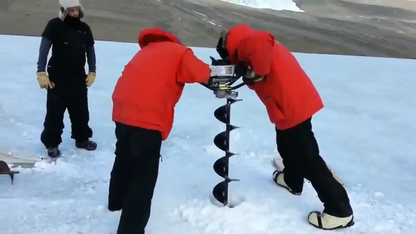
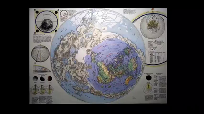
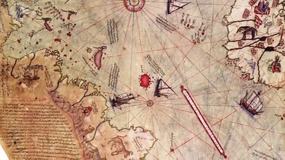
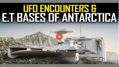
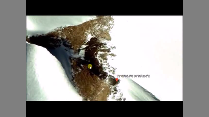
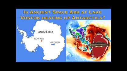
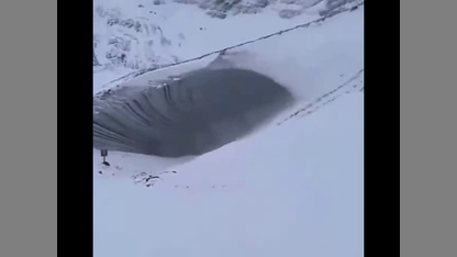
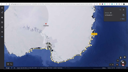
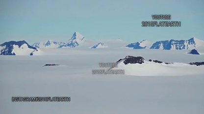
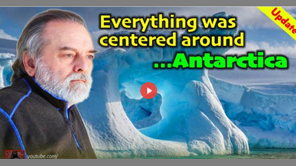
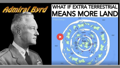
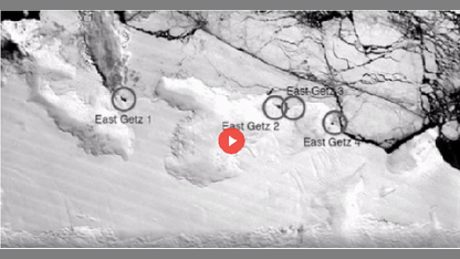
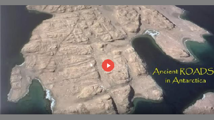
Throughout time there have been a handful of old maps showing Antarctica in high detail, as it would look prior to it being covered in ice. Recent advanced satellite mapping techniques have provided data that show these old maps to be seemingly accurate; far more than just chance. Such studies of this strange region has also revealed a number of fascinating discoveries.
SHARE THIS WITH EVERYONE
Mirrored from https://www.bitchute.com/video/zyiDmBLVSu0P/
FREE email alerts of the most important BANNED videos in the world
Get FREE email alerts of the most important BANNED videos in the world that are usually blacklisted by YouTube, Facebook, Google, Twitter and Vimeo. Watch documentaries the techno-fascists don't want you to know even exist. Join the free Brighteon email newsletter. Unsubscribe at any time. 100% privacy protected.
Your privacy is protected. Subscription confirmation required.