© Brighteon.com All Rights Reserved. All content posted on this site is commentary or opinion and is protected under Free Speech. Brighteon is not responsible for comments and content uploaded by our users.
Not round, not flat. The approximate shape of the earth

2 followers
Follow
0
Share
Report
200 views • June 17, 2021
It is of course massive and here is a compilation of photos and videos from high above, from land level, from photographic zooming across part of the ocean that dispels the fake ball/bendy water lie, to under the surface of the earth, to under the base of the ocean floor.
Ice wall images included, falsely called the south pole, like the edge of a cup that keeps water from falling over the edge. Beyond that edge or ice wall, countless miles of snow covered land and beyond that, more land. Hence the military presence represented with the fern symbol shown on the United Nations map, a more realistic depiction of the view of the surface of the earth looking straight down from high altitude and the fern leaves, such as the fern leaves on military contractor uniforms. The military stops people going to Antarctica partly because people could more widely report patented and countless high powered antennas around this massive ice wall some tens of thousands of miles in diameter beaming a range of safe and unsafe frequencies across the earth constantly and for many decades.
Ice wall images included, falsely called the south pole, like the edge of a cup that keeps water from falling over the edge. Beyond that edge or ice wall, countless miles of snow covered land and beyond that, more land. Hence the military presence represented with the fern symbol shown on the United Nations map, a more realistic depiction of the view of the surface of the earth looking straight down from high altitude and the fern leaves, such as the fern leaves on military contractor uniforms. The military stops people going to Antarctica partly because people could more widely report patented and countless high powered antennas around this massive ice wall some tens of thousands of miles in diameter beaming a range of safe and unsafe frequencies across the earth constantly and for many decades.
Keywords
FREE email alerts of the most important BANNED videos in the world
Get FREE email alerts of the most important BANNED videos in the world that are usually blacklisted by YouTube, Facebook, Google, Twitter and Vimeo. Watch documentaries the techno-fascists don't want you to know even exist. Join the free Brighteon email newsletter. Unsubscribe at any time. 100% privacy protected.
Your privacy is protected. Subscription confirmation required.
Recent News

G7 Energy Ministers Meet on Strategic Oil Reserve Release Amid Strait of Hormuz Closure
Garrison Vance

Pentagon labels Anthropic a “supply-chain risk” after dispute over military use of AI
Laura Harris

The science of longevity: How simple lifestyle changes can add years to your life
Evangelyn Rodriguez
U.S. “doomsday planes” take to the skies amid rising nuclear war fears
Laura Harris
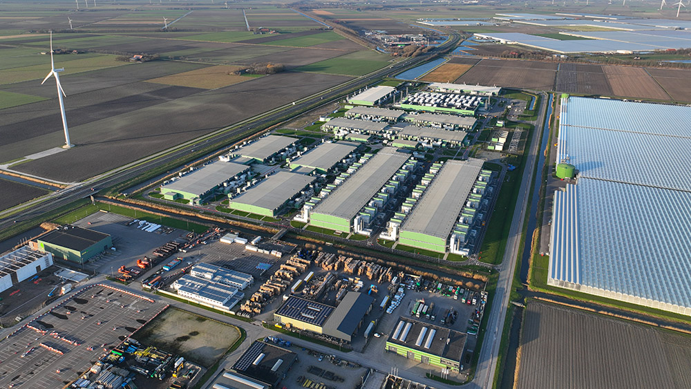
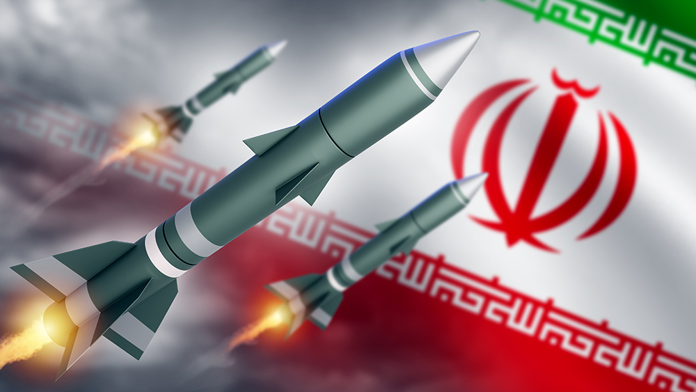
Iran’s drone strikes on Amazon data centers signal new era of cyber-physical warfare
Kevin Hughes

Warnings of terror threat in Nigeria amid regional unrest
Willow Tohi