© Brighteon.com All Rights Reserved. All content posted on this site is commentary or opinion and is protected under Free Speech. Brighteon is not responsible for comments and content uploaded by our users.

A massive winter storm is forming across the United States — and this is not a normal system.
From
Texas through the Southeast and up the East Coast, models are showing
crippling snow and historic ice accumulation. Some areas could see
catastrophic infrastructure damage, widespread power outages, and travel
shutdowns for days or even weeks.
In this report, I break down what we’re seeing:
• Arctic air draining straight out of Alaska
• Jet stream buckling and merging systems
• Pre-storm satellite conditions
• High-altitude aerosol haze
• Radar anomalies and sustained beam patterns
• Electromagnetic interference
• The sequence that keeps repeating before major storms
We’re
also stepping back and looking globally — wildfires, floods, record
snowfall, heatwaves — all happening at once across different continents.
Different climates.
Same extremes.
This isn’t random.
This isn’t localized.
This is the not-so-great Great Reset.
Credits to: Alaska Sky Watcher, NBC, RFB and MT
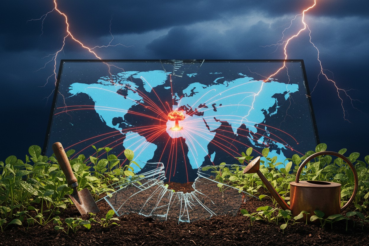
We Must Now Prepare for the Possibility of Nuclear War and Total Supply Chain Collapse

Shelf-stable doesn’t mean boring: Upgrade your emergency meals

Storm of Lies: A wake-up call to the engineered destruction of America

The Apocalypse Pantry: Grow your own pharmacy before the supply chain collapses

The calm prepper: Building a wellness pantry that lasts