© Brighteon.com All Rights Reserved. All content posted on this site is commentary or opinion and is protected under Free Speech. Brighteon is not responsible for comments and content uploaded by our users.
Weather: blatantly obvious it is anything but natural

202 followers
Follow
4
Share
Report
210 views • June 11, 2022
The geostationary satellite images from GOES-17 are finally back online, for today at least. I show half a day's worth and explain how anyone can easily see the manipulation of weather it shows. These images leave no doubt.
We can conjecture about who and why, but we know the how: Chemtrail information is widely published as are the widespread use of HAARP arrays heating the atmosphere to drive and direct airflows in unnatural directions.
See BitterrootBugle.com or GlobalSkyWatch.com for more detail
Keywords
FREE email alerts of the most important BANNED videos in the world
Get FREE email alerts of the most important BANNED videos in the world that are usually blacklisted by YouTube, Facebook, Google, Twitter and Vimeo. Watch documentaries the techno-fascists don't want you to know even exist. Join the free Brighteon email newsletter. Unsubscribe at any time. 100% privacy protected.
Your privacy is protected. Subscription confirmation required.
Recent News

The invisible threat: Why your stockpile must contain dioxin-tested supplies
HRS Editors

The overlooked lifeline: How public libraries are a prepper’s best free resource
Zoey Sky

Gold Backs: A revolutionary return to sound money
Kevin Hughes

Spring survival prep: Why preppers should embrace seasonal readiness
Evangelyn Rodriguez
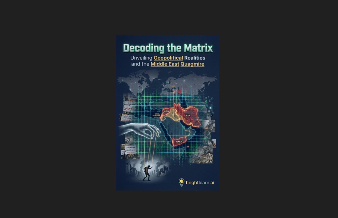
Decoding the Matrix: How global elites engineered chaos in the Middle East
Kevin Hughes

The panic cascade: 10 Crises that could empty store shelves overnight and how to secure your family’s food supply now
Zoey Sky